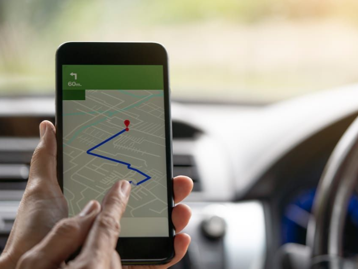
Google Maps Adds Battery Predictions for 350+ Electric Vehicle Models on Android Auto
Google is rolling out an update to Google Maps on Android Auto that introduces battery level predictions and charging stop recommendations for more than 350 ele
Google is rolling out an update to Google Maps on Android Auto that introduces battery level predictions and charging stop recommendations for more than 350 ele

Google is rolling out a redesigned Google Maps icon, replacing the long-standing flat color design with a more modern gradient look inspired by Gemini.

Google has begun restricting several Google Maps features for users who are not signed in to a Google account, reducing access to AI features, reviews, images,
Google Maps has updated its platform to reflect the renaming of the Gulf of Mexico to the Gulf of America for users in the United States, following an executive

To calibrate Google Maps on Android, open the Google Maps app, tap the blue dot that marks your location and tap Calibrate.
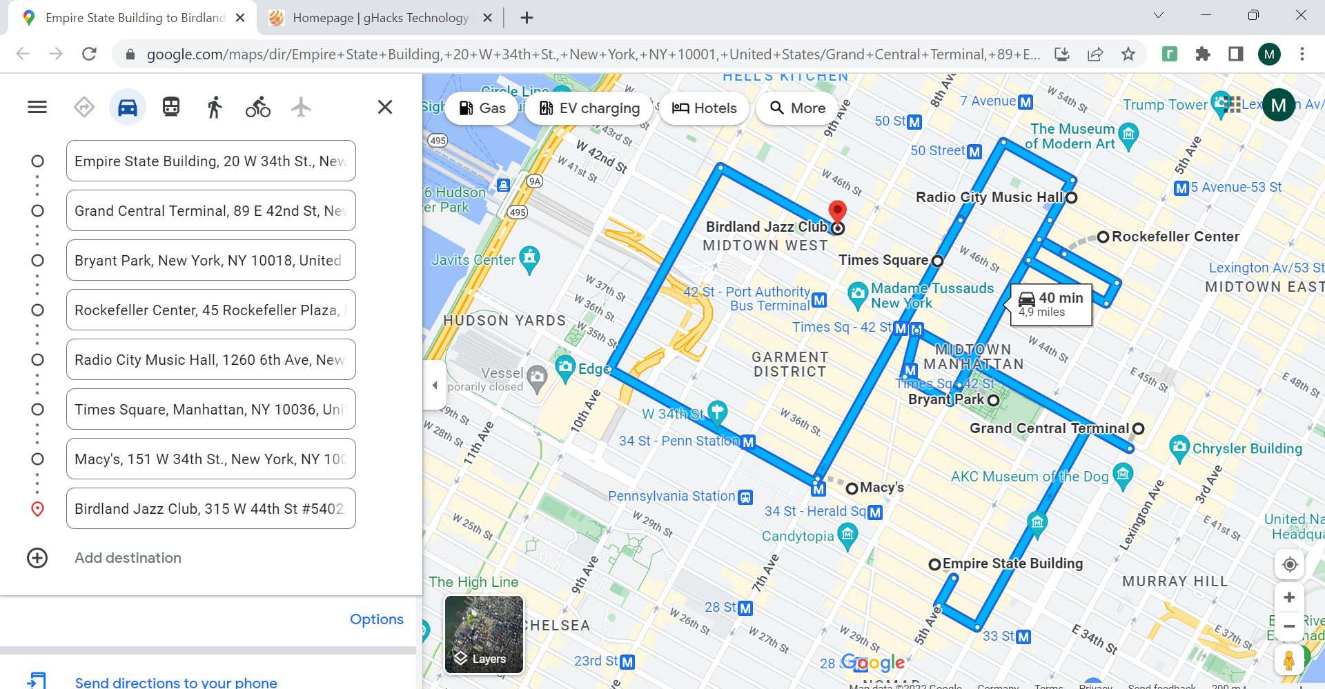
Routora is a Chrome extension and Internet service that optimizes multi-stop routes on Google Maps to save gas and travel time.

Google Earth Timelapse allows users to visualize changes on Earth's surface from 1984 to the present using over 15 million satellite images.
Google Maps users may soon see a new form of advertising when they use the popular mapping service that displays local search ads when the product is being used.

If you use Google Maps regularly to look up places, get directions, or just browse the next holiday destination to plan what you want to visit, then you may hav

To disable Google Location History (Timeline), open the Google Maps app, tap your profile picture, select Your Timeline, then More (three dots) > Settings an

Google Maps for Android and iOS had a useful offline maps feature up until recently which you could use to save parts of the map for offline use.

Google not only sets a goal of collating the world's information, but also is on a quest to map the world.

I have become convinced that there really isn't anywhere that the Google Street View team won't take their cameras.

You need to be signed in to a Google account to save Google Maps location in your web browser of choice.

You may remember that Google some time ago announced that they would start to charge for Google Map api calls above a certain level (see Google Introduces Googl
The general consensus is that https connections to web sites protect your data from being spied at by users in the same network.

Many Internet users use the Internet to lookup addresses or get driving directions.

If you need to look-up addresses quite often while your on the Internet, for instance if you are an estate agent, doing research or just planning your next holi

Google, the company that conquered the Internet by storm by offering mostly free services is slowly being turned around to make even more money than it is curre

Update: It appears that the experiment is no longer working as intended.

Imagine that you have your business setup in Google on Google Places.

Garmin is probably best known for their GPS-powered devices and applications.

Sometimes you just want to look up an address, or want directions immediately without opening new websites.

Google Street View is a service that is integrated in to Google Maps and Google Earth.

Update: The browser extension is no longer working in recent versions of Google Chrome.

We have reviewed several applications in the past that allow you to download Google Maps for offline use.

Google Directions is a service by the Google Maps team that can be used to get driving, transit or walking directions directly in the maps application.

We reviewed the Google Maps downloader Offline Maps last month and came to the conclusion that it was an excellent program for users who want to have offline ac

Bing Maps, which was formerly known as Virtual Earth, is Microsoft's answer to Google Maps.

Google Maps is an interesting service for quite a few purposes.

Each tour is taking the day the sights are visited into account to include anniversaries and festivals that might take place at one of the days of the tour.

Many people who like to travel are taking photos of the locations they visit.

Heatmaps are graphical data representations on two dimensional maps.

A few months ago, Mozilla generated lots of buzz through its Geode extension, which locates users through the WiFi access point they were using.
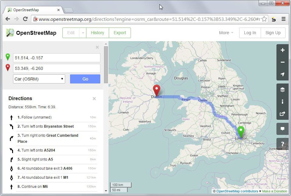
Hundreds of websites offer mapping services, which highlight roads, railways, streets and scores of other things.

Generally, I geotag my photos using Flickr's Organizr.
I've been thinking a bit about the history of the internet, and one important point I deduced was how important Google was to this all.

Now ain't that interesting ? You can use Google Maps to get directions from one location to another.

Maybe some of you do like cycling and watching the Tour de France.