Google Earth 7 with tour guides and 3D imagery
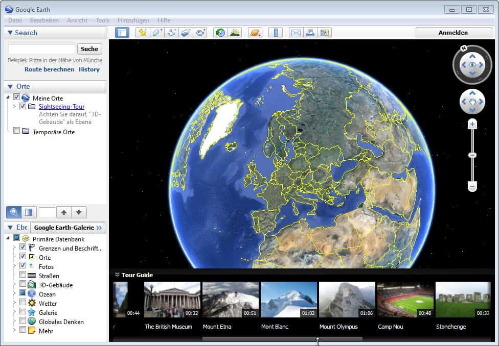
Google released a new version of Google Earth, the company's "world exploration" software yesterday. The new program version is already available on the official website where it can be downloaded for Windows, Mac and Linux. The two major changes in the new version of Google Earth are tour guides and 3D imagery of select cities.
Mobile Google Earth users already know the feature as it has been added to the mobile version of the application for iOS and Android several months ago.
The tour guide feature aids you in the exploration of places of interest. You do not have to be nearby to use the feature, but it certainly can be useful if you are visiting a foreign country or city and have some spare time for sightseeing.
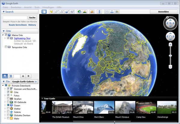
You will notice the tour guide thumbnail bar at the bottom of the main window of the Google Earth desktop application. It automatically updates the list of available tours when you change the position, either by rotation or zooming. You can alternatively use the search at the top left to zoom in on a place or location you are interested in. Each tour is visualized with a thumbnail, a play time and the name of the place, object or location.
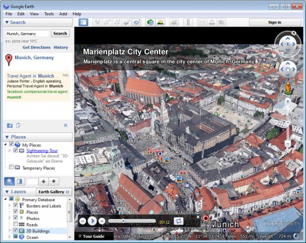
A click on a tour zooms in on it which may take some time depending on how fast your Internet connection and processor is. The default view mode is 2d only, and you need to select the 3D buildings options on the left sidebar to display buildings in 3D if available.
3D imagery has already been available for the following cities and places in previous versions of Google Earth.
- Boulder
- Boston
- Charlotte
- Denver
- Lawrence
- Long Beach
- Los Angeles
- Portland
- San Antonio
- San Diego
- Santa Cruz
- Seattle
- Tampa
- Tuscon
- Rome
- San Francisco Bay Area
The new version adds the following metropolitan regions as 3D imagery:
- Avignon
- Austin
- Munich
- Phoenix
- Mannheim
The search takes you directly to those locations on the map. The tour guides basically show locations from different angles but fail to provide you with detailed information about what you are seeing at the very moment. You will find snapshots scattered around popular places which you can hover over. Snapshots depict points of interest in the form of photos that you can take a look at from within the application.
The default Google Earth installer is a web installer that requires an Internet connection to download program files during installation. To download the Google Earth offline installer select advanced setup on the download page and uncheck the "allow Google Earth to automatically installed recommended updates" option there to download the full installer.
Advertisement











I can do that now with hypnosis. ;-)
Just to add, we’ve seen ARMA II use real world 3D modelled scenery from Czech Republic, Afghanistan and ARMA III based on a Greek island. I wonder how long it will be before video games are based in real life cities, with real life buildings.
I can see it now, the SIM’s meets ARMA meets Flight Simulator meets… A whole video game world built on a real life 3D modelled world. So, from your “SIM” world, you can jump in a F1 car and blast around your local streets. Or jump in a helicopter and land it on the roof of your house if you want to.
i some how did something that made the tour guide disappear. how do i get it back?
I’d even go a step further than that. When will we see “Total Recall”-like applications that walk you through a virtual holiday for a fraction of the price that a “real” one would cost. It will start with options just to walk through the cities as if you were there, but eventually science will probably progress to a point where you can be made to believe that you were there on holiday.
That’ll come when they figure out a way to read & write data from the human brain. But of course, once they can do that, then it’ll also open up the possibility of eternal life, as it will then be possible to transfer the data currently stored in your brain to a new body once it gets old. :-)
I’ve just been looking around Rome and although it’s not perfect up close, it’s pretty amazing how they’ve manage to 3D model the entire city, including things like trees.