GPS could soon to be more power efficient thanks to Microsoft
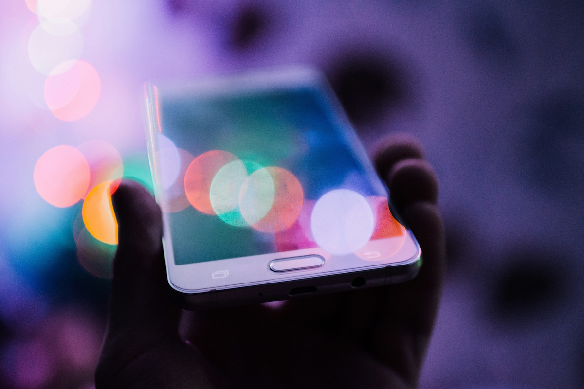
Do you have the GPS feature of your phone activated at all times or only when you need it? Whenever I activate GPS it seems to use a lot of battery, which is why I make use of the feature rarely and then only when I really need it. The main problem with current technology is that communication takes a long time before the transfer of information to the phone is initiated and completed, and in that time, the power is draining from the phone because of the active chip. Once the data is downloaded, it has to be processed on the phone before it can be presented to the phone's user which takes additional power away.
There are two core reasons for the high energy consumption of GPS. The data rate at which information are sent from the satellite is 50bps (that is bytes per second) which requires the communication channels to be open for a long time before all data is received. The second issue is the amount of signal processing that is required to establish communication with a satellite due to signal strengths and Doppler frequency shifts.
Microsoft recently published the findings of a research project that aims to improve the energy efficiency of GPS by offloading work to the cloud. Instead of direct communication with the satellite to get the data for a long period of time, the new technology only has phones communicate with the satellite for a brief moment, while the remaining data is computed in the cloud and transferred to the phone via a network connection.
Location is a fundamental service for mobile computing. Typical GPS receivers, although widely available, consume too much energy to be useful for many applications. Observing that in many sensing scenarios, the location information can be post-processed when the data is uploaded to a server, we design a Cloud-Offloaded GPS (CO-GPS) solution that allows a sensing device to aggressively duty-cycle its GPS receiver and log just enough raw GPS signal for postprocessing. Leveraging publicly available information such as GNSS satellite ephemeris and an Earth elevation database, a cloud service can derive good quality GPS locations from a few milliseconds of raw data. Using our design of a portable sensing device platform called CLEO, we evaluate the accuracy and efï¬ciency of the solution. Compared to more than 30 seconds of heavy signal processing on standalone GPS receivers, we can achieve three orders of magnitude lower energy consumption per location tagging.
I suggest you read through the research paper if you are interested in the topic. Are you using GPS on your phone or tablet, and if you are, for what?
Advertisement


fudge off ilev, wrong website for your persuasion
@DanTe
Yes they are in every device category Apple manufactures.
http://www.techspot.com/guides/623-best-of-tech-2012
@Morely the IT Guy
The Australian Police warn travelers not to use Google maps. Google that.
People People. Please! Apple is the BEST product out there… to remove the detritus from the gene pool. PLEASE do us all a favor and recommend iProducts to everybody possible. The sooner they get lost in a inhospitable desert the better. Besides, my retirement plan consists of as many people around me as possible using those totally secure iProducts with their Safari and iOS. Preferably when they need to buy something or check their finances. :))))))
And Apple Maps are so inaccurate that the Australian Police warn travelers not to use them. Google that.
Martin, is it 50bps (bits per second) or 50Bps (bytes per second)?
Lastly, I would prefer not to rely on cloud services. It is conceivable that one could be in a location where there are no cell towers within range, but GPS satellites are generally visible anywhere between the two polar regions.
I use GPS on my tablet to give me driving directions, sometimes. And I don’t use Google maps for that, either. I use an app called Navfree USA, There’s an International version, too, but I rarely leave the Continental 48 now.
It is bits, sorry for that. Speeds can also be higher but that is the lowest they can get, sorry for the confusion.
Nokia maps weren’t and aren’t worth much, including the new HERE.
Welcome to Nokia Drive Maps that’s been around for over half a decade now. Or even any of the commercial GPS applications. What Apple does is LITERALLY nothing even remotely new.
The most efficient map is Nokia Maps, they can work in offline mode with search
Apple Maps is the most efficient map application as it downloads the full maps needed for your drive, , compressed, and than the maps are used offline. Comparing to Google Maps, Apple Maps uses 30% of data.